




Risk mapping
Guidance on the code of practice for property flood resilience, published by CIRIA in 2021, defines risk mapping as: ‘The process of establishing the spatial extent of risk (combining information on probability and consequences). Risk mapping requires combining maps of hazards and vulnerabilities. The results of these analyses are usually presented in the form of maps that show the magnitude and nature of risk as well.’
[edit] Related articles on Designing Buildings Wiki
- BREEAM Flood risk management.
- Building flood resilience.
- Environment Agency.
- Flood risk.
- Flood.
- Groundwater.
- Property flood resilience.
- Pumps and dewatering equipment.
- Risk.
- Risk assessment: a quality perspective.
- Sustainable urban drainage systems.
- Temporary flood defences.
- Types of flood.
- Water engineering.
- Water table.
- Workplace design – flood protection.
Featured articles
Check out some of the best features and news from Designing Buildings as well as key stories from around the web.

Government approach could undermine delivery and regeneration.
World's first mass timber data centre.
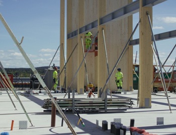
The overlooked environmental aspect of data centre development.
Introduction to radon awareness
New technical information sheet published by CIOB.

Updated supplier guide can help electrical contractors engage with NHP.

CIAT confirm the winners of the 2026 architectural technology awards.
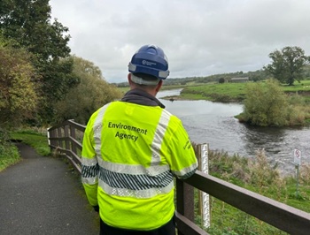
Government launches a one stop shop for flood preparedness.

Sir Edwin Lutyens: Britain's greatest architect? Book review.
CIOB publishes free template to help assess and manage risks.
ECA's reflections on Party Conference season

Burnham wants to be confident of winning before asking for a fresh mandate.
New Chief Construction and Scientific Adviser

Sergio Cavalaro, Professor of Infrastructure Systems at Loughborough University.
Building safety levy for England

CIAT publish estimator tool for members.
Water sector faces a growing crisis that could slow the delivery of vital infrastructure.